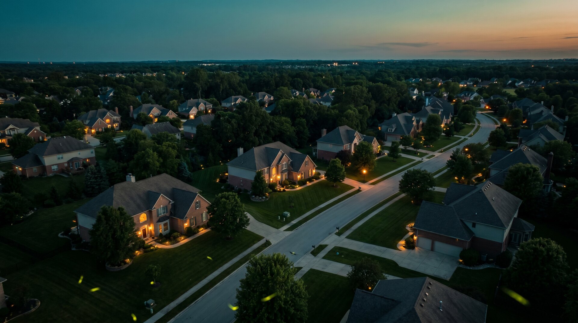
Make the listing stop the scroll.
Aerial photos and flyover tours that show the lot, the location, and the lifestyle a ground photo never could. The result is a more complete listing presentation with assets sized for MLS, websites, and social media.
The overhead is the shot that sells the setting.
A buyer scrolling forty listings stops on the one that shows them the whole picture: the yard, the trees, the walk to the park, the lake two lots over.
That is what aerial does that interior photos can’t, it sells the location, not just the rooms. We shoot it, edit it by eye, and hand you files that are ready for the MLS and the feed. One licensed local pro, fifteen minutes away, who can also build the site the listing lives on.
Drone photography across the metro.
Each town has its own airspace story. Pick yours:
Agent questions.
Eight to twelve edited aerial photos of the home, the lot, and the surroundings, plus an optional 60–90 second flyover video sized for MLS, YouTube, and vertical social. Delivered ready to post in 2–3 business days.
Launch pricing: $295 for the aerial photos, $495 for photos plus the edited tour. Twilight is +$100 and same- or next-day rush is +25% when the schedule allows. Flat numbers, posted up front.
It shows the lot, roofline, setting, and nearby context in a way ground photography cannot. The value is a more complete and distinctive listing presentation, not a promise about days on market or sale price.
Yes. We hold an active FAA Part 107 Remote Pilot Certificate. Project-specific drone liability coverage is bound for each commercial flight, a COI is available when required, and every address is checked for airspace authorization before scheduling.
Yes, that is the rest of the business. A fast personal-brand or brokerage site that ranks for your name and farm area, with your aerial media built into it. One local person for the photos and the site.