Local aerial service
Real estate and property
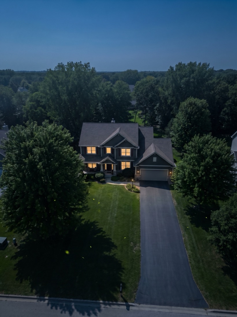
Show the lot, roofline, setting, and nearby context that ground photography misses. Every flight follows a compact shot list so the final set is useful, not merely impressive.
See real-estate aerial4K drone video and high-resolution stills for listings, construction, businesses, and campaigns across southeast Wisconsin. One local operator handles the airspace, capture, edit, and the page or social cut it lands in.
The flight is only useful when the footage arrives in the right shape for the place it has to work.
Before takeoff, we define the audience, final crop, shot list, and delivery format. Part 107 certification covers the commercial operation. Project-specific liability coverage is bound for the flight, and any required airspace authorization is cleared for the exact location before the date is locked.
Show the lot, roofline, setting, and nearby context that ground photography misses. Every flight follows a compact shot list so the final set is useful, not merely impressive.
See real-estate aerial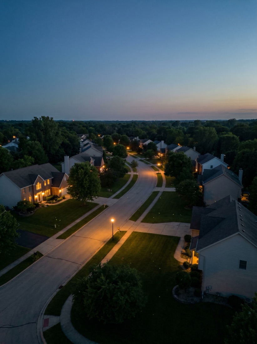
Repeatable viewpoints make change legible to owners, lenders, crews, and stakeholders. Flights are organized by date and captured from the same anchor points whenever conditions allow.
See construction monitoring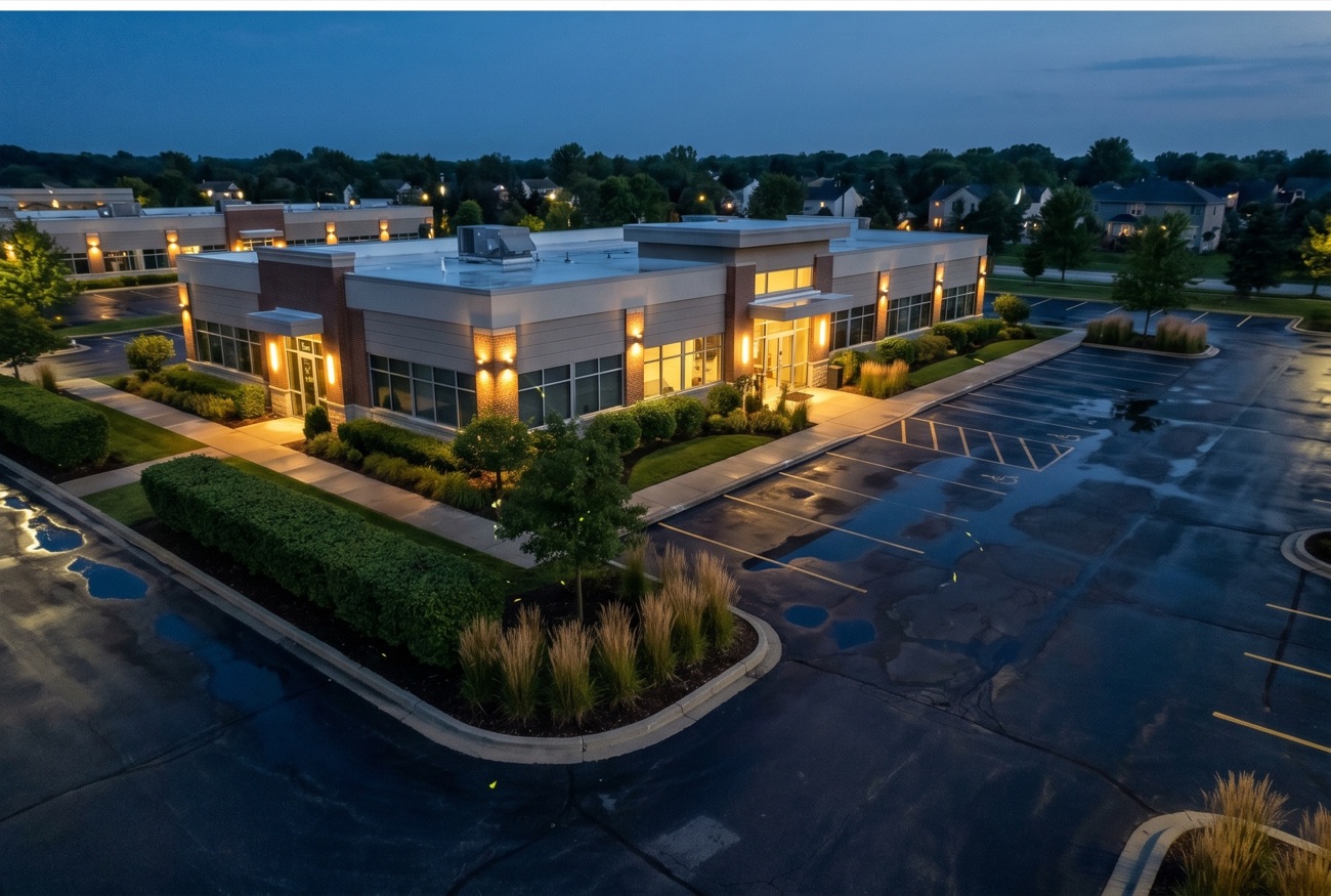
Give customers a real sense of your building, property, campus, inventory, or operation. The footage can be cut directly into a website hero, company film, launch, or social campaign.
See business aerial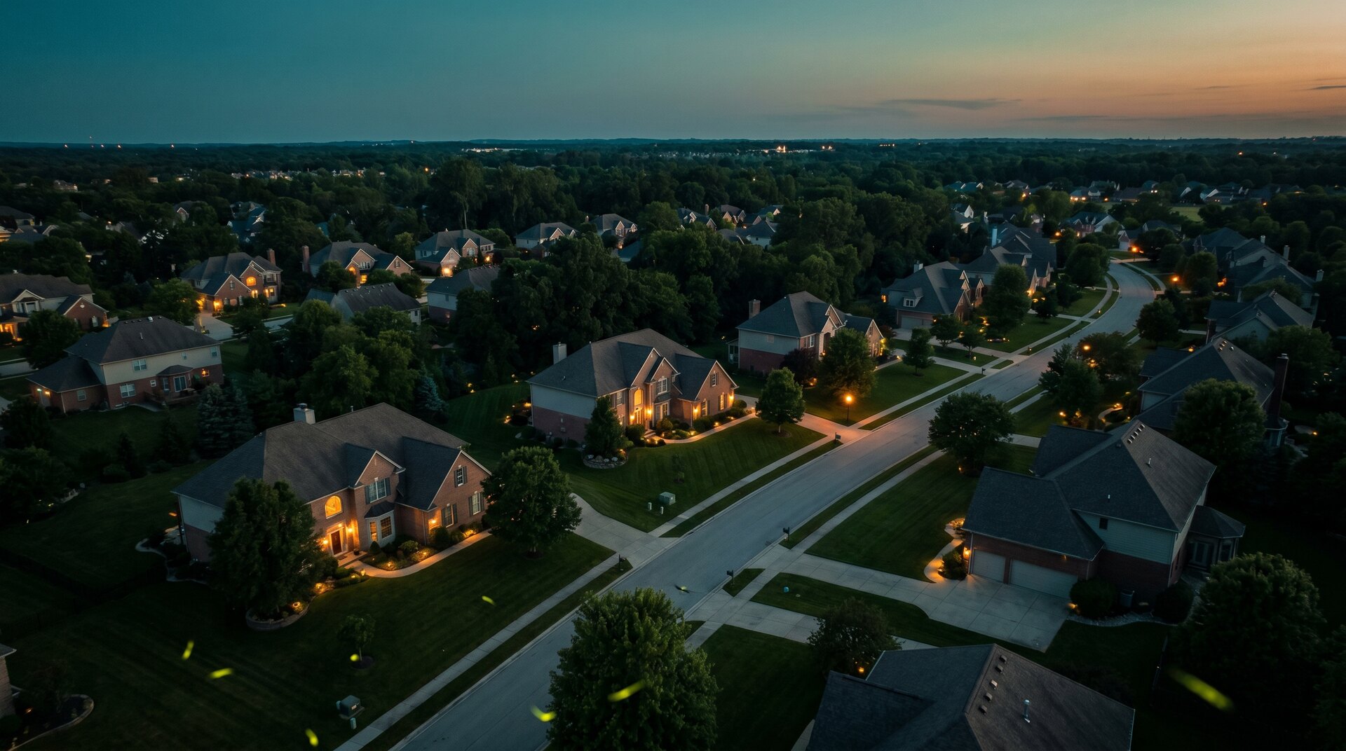
For agencies, producers, tourism teams, events, and organizations that need a specific set of establishing shots or aerial b-roll. Bring a brief, or we can turn the intended edit into a practical flight plan.
Plan a custom shootOrganized 4K selects and high-resolution stills for your in-house editor or agency.
Color-corrected photos and edited horizontal and vertical cuts, ready to publish.
The aerial becomes the website hero, campaign film, social sequence, or launch creative.
Twilight is +$100. Same- or next-day rush is +25% when the schedule and airspace allow. Travel beyond roughly 25 miles of Wauwatosa is quoted before booking.
Local pages explain the common airspace and use cases in each market. The actual flight decision is always based on the exact address, current restrictions, weather, and site conditions.
Yes. We hold an active FAA Part 107 Remote Pilot Certificate. Project-specific drone liability coverage is bound for each commercial flight, and a certificate of insurance is available when a client or property manager requires it.
Launch pricing is $295 for 8–12 edited listing photos or $495 with an edited 60–90 second flyover. Business and brand aerials run $650–$950 by the site. Construction progress is $300 per visit. Custom capture and production work is quoted from a defined shot list.
Standard delivery is 2–3 business days after the flight. Same- or next-day rush is available for a 25% premium when the schedule allows. Weather and airspace are the honest variables, so every booking includes a backup date.
Often, yes. Controlled airspace associated with Milwaukee Mitchell, Timmerman, and Waukesha County airports covers a meaningful share of the metro. I check the exact address and handle any required LAANC or FAA authorization before the shoot is scheduled.
Yes. A shoot can be delivered as 16:9 footage for websites and YouTube, 9:16 cuts for Reels and Shorts, edited stills, or organized selects for another editor. The deliverables are defined before the flight so the camera moves are planned for the final crop.
Yes. Tosa Marketing can stop at capture, edit a finished set of assets, or carry the work through the website, social cutdowns, and campaign creative. That is the main difference between hiring a drone operator and hiring a marketing studio that also flies.